The South Downs Way is one of the official UK National Trails, running from Eastbourne to Winchester, follows old routes and droveways along the chalk escarpment and ridges of the South Downs National Park . The total length is just over 160 kilometres (100 miles). It is the only National Trail which is a bridleway (walkers sharing the path with horses and cyclists) along its whole length.
You can download this route to your GPS or mobile phone by clicking on the 'View route..' link on the map below (provided you have registered (free) with ViewRanger
Get Ordnance Survey maps on your website to enhance the service and customer experience.
GPX file: Click the boot to download a gpx file of this walk (track and waypoint info) Save to your gps device.
Location & Spoken Description
Many of the more recent Greenlives walks have a facility to show your present position on the live map. To find where you are just click on the button to the right of the map labelled 'Where am I?'.
Click here for your position.
You can also hear a spoken description of the entire walk by pressing the 'Play' button. When you've had enough, just press 'Stop'.
Click for walk description
If you have allowed your browser to send your location data the live map will centre itself where you are and a '0' marker will appear. Your positon on the map will be updated every few seconds and a new marker will be displayed.
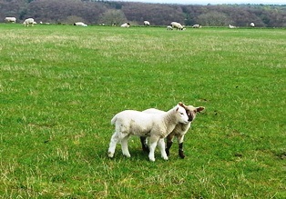 Lambs on Tegdown
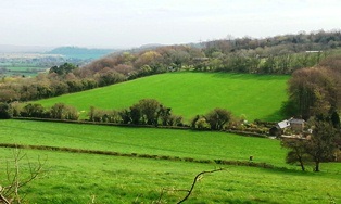 Coulter Dean Farm and Harting Down
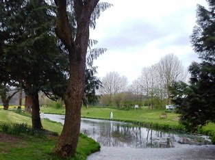 Fish ponds at Meon Springs